 vesseltracker.com
Live AIS position:
28.07276° S, 33.90098° E UTC. 101 nm E of Elgin),
updated 2025-11-19 18:32:48 UTC.
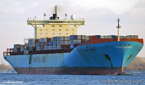
Find the position of the vessel Maersk Karlskrona on the map. The latter are known coordinates and path.
marine traffic ship tracker show on live map
The current position of vessel Maersk Karlskrona is -28.07276 lat / 33.90098 lng. Updated: 2025-11-19 18:32:48 UTCCurrently sailing under the flag of Liberia
Maersk Karlskrona built in 1996 year
Deadweight:
84900 tDetails:
Last coordinates of the vessel:
UTC, -28.73886, 33.20092, course: 45, speed: 17.5UTC, -28.40782, 33.55519, course: 46, speed: 17.5
UTC, -28.30961, 33.65588, course: 44, speed: 17.6
2025-11-19 18:32:48 UTC, -28.07276, 33.90098, course: 47, speed: 18.3