 vesseltracker.com
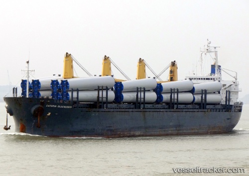
Find the position of the vessel DEMA M on the map. The latter are known coordinates and path.
marine traffic ship tracker show on live map
The current position of vessel DEMA M is 40.95682 lat / 28.90705 lng. Updated: 2025-10-29 19:45:15 UTCCurrently sailing under the flag of Liberia
DEMA M built in 2003 year
Deadweight:
32259 tDetails:
Last coordinates of the vessel:
UTC, 40.95420, 28.90895, course: 333, speed: 0UTC, 40.95333, 28.90667, course: -1, speed: 0
UTC, 40.95522, 28.90653, course: 71, speed: 0
2025-10-29 19:45:15 UTC, 40.95682, 28.90705, course: 138, speed: 0.1