 vesseltracker.com
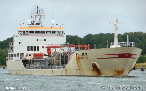
Find the position of the vessel MERA on the map. The latter are known coordinates and path.
marine traffic ship tracker show on live map
The current position of vessel MERA is 1.29009 lat / 104.19822 lng. Updated: 2025-11-02 13:30:27 UTCCurrently sailing under the flag of Liberia
MERA built in 1998 year
Deadweight:
7014 tDetails:
Last coordinates of the vessel:
UTC, 1.29009, 104.19822, course: 249, speed: 7.6UTC, 1.29009, 104.19822, course: 249, speed: 7.6
UTC, 1.29009, 104.19822, course: 249, speed: 7.6
UTC, 1.29009, 104.19822, course: 249, speed: 7.6
2025-11-02 13:30:27 UTC, 1.29009, 104.19822, course: 249, speed: 7.6
The ship also appears on the maps: