 vesseltracker.com
Find the position of the vessel K INSET on the map. The latter are known coordinates and path.
marine traffic ship tracker show on live map
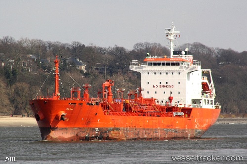
The current position of vessel K INSET is 36.72667 lat / 5.14860 lng. Updated: 2025-10-07 04:34:02 UTCCurrently sailing under the flag of Liberia
K INSET built in 2005 year
Deadweight:
12956 tDetails:
Last coordinates of the vessel:
UTC, 36.72500, 5.14667, course: -1, speed: 0UTC, 36.72500, 5.14667, course: -1, speed: 0
UTC, 36.72500, 5.14833, course: -1, speed: 0
2025-10-07 04:34:02 UTC, 36.72667, 5.14860, course: 291, speed: 0.2