 vesseltracker.com
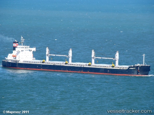
Find the position of the vessel Liberty on the map. The latter are known coordinates and path.
marine traffic ship tracker show on live map
The current position of vessel Liberty is 24.91439 lat / 51.57155 lng. Updated: 2025-10-29 05:55:47 UTCCurrently sailing under the flag of Liberia
Liberty built in 2009 year
Deadweight:
58679 tDetails:
Last coordinates of the vessel:
UTC, 24.91436, 51.57153, course: 313, speed: 0UTC, 24.91440, 51.57156, course: 313, speed: 0
UTC, 24.91439, 51.57157, course: 313, speed: 0
2025-10-29 05:55:47 UTC, 24.91439, 51.57155, course: 312, speed: 0