 vesseltracker.com
Live AIS position:
43.41778° N, 28.82864° E UTC. 15 nm SE of Shabla),
updated 2025-11-24 07:50:10 UTC.
Find the position of the vessel SAM on the map. The latter are known coordinates and path.
marine traffic ship tracker show on live map
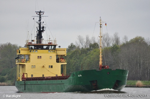
The current position of vessel SAM is 43.41778 lat / 28.82864 lng. Updated: 2025-11-24 07:50:10 UTCCurrently sailing under the flag of Togo
SAM built in 1976 year
Deadweight:
3160 tDetails:
Last coordinates of the vessel:
UTC, 43.75915, 28.86889, course: 165, speed: 7.1UTC, 43.75915, 28.86889, course: 165, speed: 7.1
UTC, 43.41778, 28.82864, course: 188, speed: 7.1
2025-11-24 07:50:10 UTC, 43.41778, 28.82864, course: 188, speed: 7.1
The ship also appears on the maps: