 vesseltracker.com
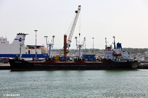
Vessel Ibrahim Bey IMO: 7916997, MMSI: 667001710 General Cargo Ship
Live AIS position:
UTC. 26 nm N of Weihaiwei),
updated 2025-06-08 00:03:30 UTC.
Find the position of the vessel Ibrahim Bey on the map. The latter are known coordinates and path.
marine traffic ship tracker show on live map
The current position of vessel Ibrahim Bey is 38.00178 lat / 122.11859 lng. Updated: 2025-06-08 00:03:30 UTCDetails:
Last coordinates of the vessel:
2025-06-08 00:03:30 UTC, 38.00178, 122.11859, course: 34, speed: 5