 vesseltracker.com
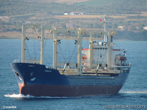
Find the position of the vessel Merry M on the map. The latter are known coordinates and path.
marine traffic ship tracker show on live map
The current position of vessel Merry M is 38.17627 lat / 25.85029 lng. Updated: 2025-11-11 05:18:37 UTCCurrently sailing under the flag of Comoros
Merry M built in 1985 year
Deadweight:
8890 tDetails:
Last coordinates of the vessel:
UTC, 37.91841, 26.22323, course: 309, speed: 10.3UTC, 37.98389, 26.11876, course: 307, speed: 9.8
UTC, 38.15130, 25.87955, course: 308, speed: 10.1
2025-11-11 05:18:37 UTC, 38.17627, 25.85029, course: 351, speed: 9.9
The ship also appears on the maps: