 vesseltracker.com
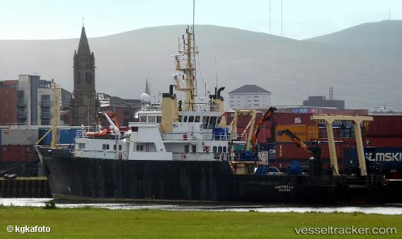
Find the position of the vessel Corystes on the map. The latter are known coordinates and path.
marine traffic ship tracker show on live map
The current position of vessel Corystes is 54.61924 lat / -5.91043 lng. Updated: 2025-10-26 05:53:14 UTCCurrently sailing under the flag of United Kingdom
Corystes built in 1988 year
Deadweight:
284 tDetails:
Last coordinates of the vessel:
UTC, 54.61928, -5.91047, course: 217, speed: 0UTC, 54.61926, -5.91045, course: 217, speed: 0
UTC, 54.61920, -5.91034, course: 217, speed: 0
2025-10-26 05:53:14 UTC, 54.61924, -5.91043, course: 217, speed: 0