 vesseltracker.com
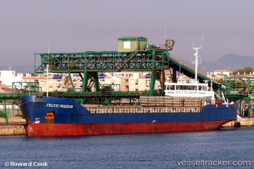
Vessel Muhammet Gumustas 4 IMO: 8520458, MMSI: 271043725 Multi Purpose Carrier
UTC, 40.86832, 29.21391, course: 317, speed: 0
UTC, 40.86816, 29.21377, course: 4, speed: 0
2026-01-18 15:47:47 UTC, 40.86816, 29.21377, course: 351, speed: 0
Live AIS position:
UTC. Near PENDIK),
updated 2026-01-18 15:47:47 UTC.
Find the position of the vessel Muhammet Gumustas 4 on the map. The latter are known coordinates and path.
marine traffic ship tracker show on live map
The current position of vessel Muhammet Gumustas 4 is 40.86816 lat / 29.21377 lng. Updated: 2026-01-18 15:47:47 UTCCurrently sailing under the flag of Turkey
Muhammet Gumustas 4 built in 1986 year
Deadweight:
3473 tDetails:
Last coordinates of the vessel:
UTC, 40.86942, 29.21241, course: 339, speed: 0UTC, 40.86832, 29.21391, course: 317, speed: 0
UTC, 40.86816, 29.21377, course: 4, speed: 0
2026-01-18 15:47:47 UTC, 40.86816, 29.21377, course: 351, speed: 0