 vesseltracker.com
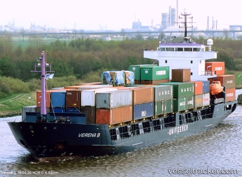
Vessel GORDION IMO: 9043380, MMSI: 577561000 General Cargo Ship
UTC, 44.72698, 37.77532, course: 0, speed: 7.7
UTC, 44.89521, 38.05764, course: 273, speed: 6.1
2026-01-18 20:07:55 UTC, 44.89518, 38.06182, course: 269, speed: 7.8
Live AIS position:
UTC. Near Abinsk),
updated 2026-01-18 20:07:55 UTC.
Find the position of the vessel GORDION on the map. The latter are known coordinates and path.
marine traffic ship tracker show on live map
The current position of vessel GORDION is 44.89518 lat / 38.06182 lng. Updated: 2026-01-18 20:07:55 UTCCurrently sailing under the flag of Vanuatu
GORDION built in 1992 year
Deadweight:
5356 tDetails:
Last coordinates of the vessel:
UTC, 44.79677, 37.83607, course: 0, speed: 45UTC, 44.72698, 37.77532, course: 0, speed: 7.7
UTC, 44.89521, 38.05764, course: 273, speed: 6.1
2026-01-18 20:07:55 UTC, 44.89518, 38.06182, course: 269, speed: 7.8