 vesseltracker.com
Find the position of the vessel BOW FAGUS on the map. The latter are known coordinates and path.
marine traffic ship tracker show on live map
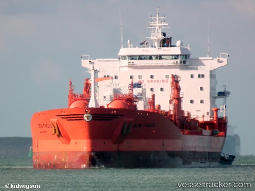
The current position of vessel BOW FAGUS is 21.438709259033203 lat / 72.2272720336914 lng. Updated: 2025-08-27 21:51:48 UTCCurrently sailing under the flag of Marshall Islands
BOW FAGUS built in 1995 year
Deadweight:
37375 tDetails:
Last coordinates of the vessel:
2025-08-27 21:51:48 UTC, 21.438709259033203, 72.2272720336914, course: -1, speed: 0