 vesseltracker.com
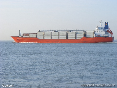
Find the position of the vessel Charles Island on the map. The latter are known coordinates and path.
marine traffic ship tracker show on live map
The current position of vessel Charles Island is -5.04074 lat / -81.11243 lng. Updated: 2025-10-19 05:30:30 UTCDetails:
Last coordinates of the vessel:
UTC, -5.04445, -81.11803, course: 229, speed: 0.9UTC, -5.04090, -81.11561, course: 238, speed: 0.6
UTC, -5.03541, -81.11202, course: 197, speed: 0.8
2025-10-19 05:30:30 UTC, -5.04074, -81.11243, course: 183, speed: 5.3
The ship also appears on the maps: