 vesseltracker.com
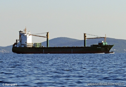
Find the position of the vessel Msc Claudia on the map. The latter are known coordinates and path.
marine traffic ship tracker show on live map
The current position of vessel Msc Claudia is 5.62627 lat / 0.01055 lng. Updated: 2025-11-06 23:40:52 UTCCurrently sailing under the flag of Liberia
Msc Claudia built in 1996 year
Deadweight:
18335 tDetails:
Last coordinates of the vessel:
UTC, 5.62636, 0.01054, course: 235, speed: 0UTC, 5.62631, 0.01057, course: 235, speed: 0
UTC, 5.62635, 0.01052, course: 235, speed: 0
2025-11-06 23:40:52 UTC, 5.62627, 0.01055, course: 237, speed: 0.5
The ship also appears on the maps: