 vesseltracker.com
Find the position of the vessel ELLA Y on the map. The latter are known coordinates and path.
marine traffic ship tracker show on live map
The current position of vessel ELLA Y is 44.7211 lat / 37.8143 lng. Updated: 2025-07-15 04:29:32 UTCCurrently sailing under the flag of Palau
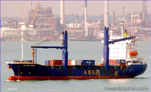
ELLA Y built in 1996 year
Deadweight:
11321 tDetails:
Last coordinates of the vessel:
UTC, 44.3292, 37.5209, course: 257, speed: 1.7UTC, 44.3292, 37.5209, course: 257, speed: 1.7
UTC, 44.3292, 37.5209, course: 257, speed: 1.7
2025-07-15 04:29:32 UTC, 44.7211, 37.8143, course: 63, speed: 0