 vesseltracker.com
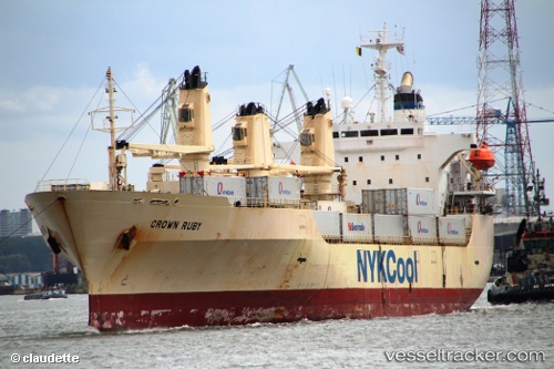
Find the position of the vessel Crown Ruby on the map. The latter are known coordinates and path.
marine traffic ship tracker show on live map
The current position of vessel Crown Ruby is 27.76674 lat / -47.48627 lng. Updated: 2025-11-05 10:37:48 UTCCurrently sailing under the flag of Bahamas
Crown Ruby built in 1997 year
Deadweight:
10338 tDetails:
Last coordinates of the vessel:
UTC, 27.43023, -48.29210, course: 66, speed: 17.9UTC, 27.50938, -48.10629, course: 64, speed: 18
UTC, 27.73182, -47.56932, course: 64, speed: 18.1
2025-11-05 10:37:48 UTC, 27.76674, -47.48627, course: 64, speed: 17.9
The ship also appears on the maps: