 vesseltracker.com
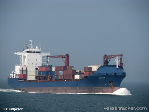
Vessel Roseline A IMO: 9163984, MMSI: 271043491 Container Ship
UTC, 40.77270, 29.70940, course: 46, speed: 0
UTC, 40.75330, 29.47737, course: 262, speed: 10.4
2026-01-17 13:28:51 UTC, 40.75095, 29.45913, course: 260, speed: 10.4
Live AIS position:
UTC. Near ESKIHISAR),
updated 2026-01-17 13:28:51 UTC.
Find the position of the vessel Roseline A on the map. The latter are known coordinates and path.
marine traffic ship tracker show on live map
The current position of vessel Roseline A is 40.75095 lat / 29.45913 lng. Updated: 2026-01-17 13:28:51 UTCCurrently sailing under the flag of Turkey
Roseline A built in 1998 year
Deadweight:
16727 tDetails:
Last coordinates of the vessel:
UTC, 40.77269, 29.70942, course: 46, speed: 0UTC, 40.77270, 29.70940, course: 46, speed: 0
UTC, 40.75330, 29.47737, course: 262, speed: 10.4
2026-01-17 13:28:51 UTC, 40.75095, 29.45913, course: 260, speed: 10.4