 vesseltracker.com
Find the position of the vessel HAMMER on the map. The latter are known coordinates and path.
marine traffic ship tracker show on live map
The current position of vessel HAMMER is 38.37467 lat / -10.00745 lng. Updated: 2025-11-05 00:11:55 UTCCurrently sailing under the flag of Panama
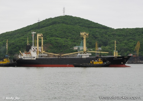
HAMMER built in 1998 year
Deadweight:
4902 tDetails:
Last coordinates of the vessel:
UTC, 38.62145, -10.08236, course: 170, speed: 6.5UTC, 38.53352, -10.06211, course: 164, speed: 7.1
UTC, 38.39305, -10.01484, course: 164, speed: 4.4
2025-11-05 00:11:55 UTC, 38.37467, -10.00745, course: 164, speed: 6.5