 vesseltracker.com
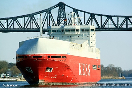
Find the position of the vessel Isar Highway on the map. The latter are known coordinates and path.
marine traffic ship tracker show on live map
The current position of vessel Isar Highway is 51.59881 lat / 1.85021 lng. Updated: 2025-11-11 09:41:41 UTCCurrently sailing under the flag of Cyprus
Isar Highway built in 2000 year
Deadweight:
3414 tDetails:
Last coordinates of the vessel:
UTC, 51.98668, 2.68796, course: 220, speed: 12UTC, 51.84710, 2.41319, course: 225, speed: 12.2
UTC, 51.70738, 2.08622, course: 232, speed: 12.2
2025-11-11 09:41:41 UTC, 51.59881, 1.85021, course: 230, speed: 12.7