 vesseltracker.com
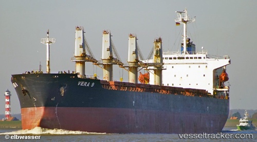
Vessel Era S IMO: 9202118, MMSI: 372430000 Bulk Carrier
UTC, 4.23500, 106.15667, course: -1, speed: 10
UTC, 4.48667, 106.37500, course: -1, speed: 10
2026-01-16 11:52:04 UTC, 4.71167, 106.56833, course: -1, speed: 10
Live AIS position:
UTC. 38 nm NE of Belanak Terminal),
updated 2026-01-16 11:52:04 UTC.
Find the position of the vessel Era S on the map. The latter are known coordinates and path.
marine traffic ship tracker show on live map
The current position of vessel Era S is 4.71167 lat / 106.56833 lng. Updated: 2026-01-16 11:52:04 UTCDetails:
Last coordinates of the vessel:
UTC, 3.98318, 105.97790, course: -1, speed: 10.9UTC, 4.23500, 106.15667, course: -1, speed: 10
UTC, 4.48667, 106.37500, course: -1, speed: 10
2026-01-16 11:52:04 UTC, 4.71167, 106.56833, course: -1, speed: 10