 vesseltracker.com
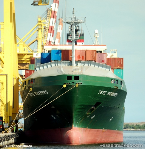
Vessel Rachel Borchard IMO: 9212010, MMSI: 538005064 Container Ship
UTC, -24.12200, -46.13283, course: 304, speed: 10.8
UTC, -24.12200, -46.13283, course: 304, speed: 10.8
UTC, -24.12200, -46.13283, course: 304, speed: 10.8
2026-01-17 10:04:42 UTC, -24.12200, -46.13283, course: 304, speed: 10.8
Live AIS position:
UTC. Near Guarujá),
updated 2026-01-17 10:04:42 UTC.
Find the position of the vessel Rachel Borchard on the map. The latter are known coordinates and path.
marine traffic ship tracker show on live map
The current position of vessel Rachel Borchard is -24.12200 lat / -46.13283 lng. Updated: 2026-01-17 10:04:42 UTCCurrently sailing under the flag of Marshall Is
Rachel Borchard built in 2000 year
Deadweight:
15317 tDetails:
Last coordinates of the vessel:
UTC, -24.12200, -46.13283, course: 304, speed: 10.8UTC, -24.12200, -46.13283, course: 304, speed: 10.8
UTC, -24.12200, -46.13283, course: 304, speed: 10.8
UTC, -24.12200, -46.13283, course: 304, speed: 10.8
2026-01-17 10:04:42 UTC, -24.12200, -46.13283, course: 304, speed: 10.8