 vesseltracker.com
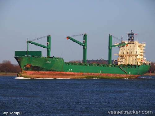
Find the position of the vessel Cinzia A on the map. The latter are known coordinates and path.
marine traffic ship tracker show on live map
The current position of vessel Cinzia A is 44.4032 lat / 8.90035 lng. Updated: 2025-11-17 04:48:56 UTCCurrently sailing under the flag of Malta
Cinzia A built in 2001 year
Deadweight:
33894 tDetails:
Last coordinates of the vessel:
UTC, 44.4033, 8.90037, course: 173, speed: 0UTC, 44.4032, 8.90036, course: 173, speed: 0
UTC, 44.4032, 8.90041, course: 173, speed: 0
2025-11-17 04:48:56 UTC, 44.4032, 8.90035, course: 173, speed: 0