 vesseltracker.com
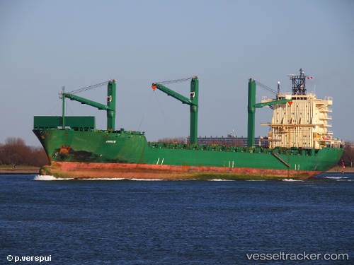
Find the position of the vessel Cinzia A on the map. The latter are known coordinates and path.
marine traffic ship tracker show on live map
The current position of vessel Cinzia A is 36.3681 lat / 21.8694 lng. Updated: 2025-07-19 15:22:00 UTCCurrently sailing under the flag of Malta
Cinzia A built in 2001 year
Deadweight:
33894 tDetails:
Last coordinates of the vessel:
UTC, 36.3626, 22.6756, course: 254, speed: 13.9UTC, 36.3164, 22.3082, course: 270, speed: 13.4
UTC, 36.3295, 22.019, course: 290, speed: 13.2
2025-07-19 15:22:00 UTC, 36.3681, 21.8694, course: 290, speed: 12.8