 vesseltracker.com
Live AIS position:
40.59060° N, 28.65813° E UTC. 17 nm NW of Mudanya),
updated 2025-11-20 00:59:04 UTC.
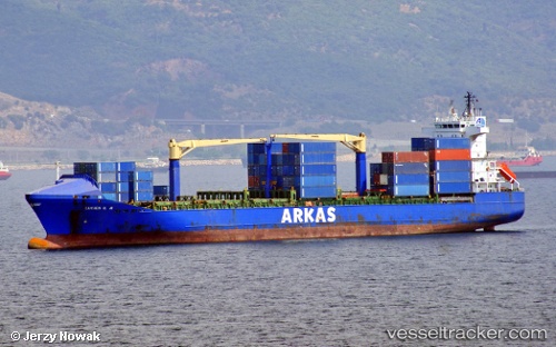
Find the position of the vessel Lucien G.a on the map. The latter are known coordinates and path.
marine traffic ship tracker show on live map
The current position of vessel Lucien G.a is 40.59060 lat / 28.65813 lng. Updated: 2025-11-20 00:59:04 UTCCurrently sailing under the flag of Turkey
Lucien G.a built in 2002 year
Deadweight:
17290 tDetails:
Last coordinates of the vessel:
UTC, 40.69732, 27.81374, course: 92, speed: 12.3UTC, 40.67657, 28.08938, course: 96, speed: 12.5
UTC, 40.64833, 28.43500, course: -1, speed: 12
2025-11-20 00:59:04 UTC, 40.59060, 28.65813, course: 142, speed: 12.3