 vesseltracker.com
Find the position of the vessel Kaptan Aytac A on the map. The latter are known coordinates and path.
marine traffic ship tracker show on live map
The current position of vessel Kaptan Aytac A is 41.20173 lat / 29.11307 lng. Updated: 2025-11-04 05:22:04 UTCCurrently sailing under the flag of Turkey
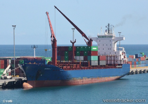
Kaptan Aytac A built in 2001 year
Deadweight:
17183 tDetails:
Last coordinates of the vessel:
UTC, 40.81239, 28.96606, course: 89, speed: 0.4UTC, 40.81739, 28.96254, course: 34, speed: 2.5
UTC, 40.92060, 28.96136, course: 25, speed: 9.3
2025-11-04 05:22:04 UTC, 41.20173, 29.11307, course: 35, speed: 7.9