 vesseltracker.com
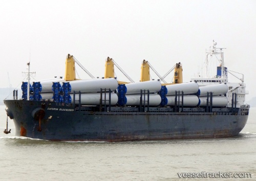
Vessel DEMA M IMO: 9255074, MMSI: 636021877 General Cargo Ship
UTC, 10.92198, 112.38751, course: 38, speed: 8.8
UTC, 11.02580, 112.47519, course: 39, speed: 8.8
2026-01-16 17:27:06 UTC, 11.15500, 112.58833, course: -1, speed: 8
Live AIS position:
UTC. 207 nm E of Vinh Cam Ranh),
updated 2026-01-16 17:27:06 UTC.
Find the position of the vessel DEMA M on the map. The latter are known coordinates and path.
marine traffic ship tracker show on live map
The current position of vessel DEMA M is 11.15500 lat / 112.58833 lng. Updated: 2026-01-16 17:27:06 UTCCurrently sailing under the flag of Liberia
DEMA M built in 2003 year
Deadweight:
32259 tDetails:
Last coordinates of the vessel:
UTC, 10.69333, 112.22667, course: -1, speed: 8UTC, 10.92198, 112.38751, course: 38, speed: 8.8
UTC, 11.02580, 112.47519, course: 39, speed: 8.8
2026-01-16 17:27:06 UTC, 11.15500, 112.58833, course: -1, speed: 8