 vesseltracker.com
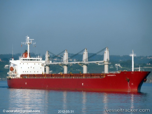
Vessel New Island IMO: 9258349, MMSI: 249860000 Bulk Carrier
UTC, 43.71017, 28.74017, course: 94, speed: 3
UTC, 43.70517, 28.73967, course: 95, speed: 3.2
2026-01-19 02:24:02 UTC, 43.65133, 28.73533, course: 92, speed: 3
Live AIS position:
UTC. Near Durankulak),
updated 2026-01-19 02:24:02 UTC.
Find the position of the vessel New Island on the map. The latter are known coordinates and path.
marine traffic ship tracker show on live map
The current position of vessel New Island is 43.65133 lat / 28.73533 lng. Updated: 2026-01-19 02:24:02 UTCCurrently sailing under the flag of Malta
New Island built in 2002 year
Deadweight:
47304 tDetails:
Last coordinates of the vessel:
UTC, 43.78233, 28.74867, course: 98, speed: 3.2UTC, 43.71017, 28.74017, course: 94, speed: 3
UTC, 43.70517, 28.73967, course: 95, speed: 3.2
2026-01-19 02:24:02 UTC, 43.65133, 28.73533, course: 92, speed: 3