 vesseltracker.com
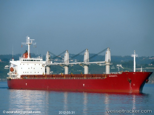
Find the position of the vessel New Island on the map. The latter are known coordinates and path.
marine traffic ship tracker show on live map
The current position of vessel New Island is 36.8205 lat / 5.89617 lng. Updated: 2025-08-05 08:14:52 UTCCurrently sailing under the flag of Malta
New Island built in 2002 year
Deadweight:
47304 tDetails:
Last coordinates of the vessel:
UTC, 36.8205, 5.89617, course: 350, speed: 0UTC, 36.8205, 5.89617, course: 350, speed: 0
UTC, 36.8205, 5.89633, course: 350, speed: 0
2025-08-05 08:14:52 UTC, 36.8205, 5.89617, course: 350, speed: 0
The ship also appears on the maps: