 vesseltracker.com
Find the position of the vessel Isabelle G on the map. The latter are known coordinates and path.
marine traffic ship tracker show on live map
The current position of vessel Isabelle G is 36.10507 lat / 26.75554 lng. Updated: 2025-10-21 08:15:20 UTCCurrently sailing under the flag of Portugal
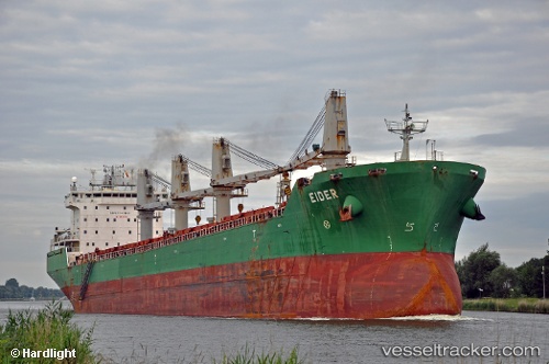
Isabelle G built in 2004 year
Deadweight:
37193 tDetails:
Last coordinates of the vessel:
UTC, 36.15785, 25.81708, course: 89, speed: 12.6UTC, 36.16571, 26.27236, course: 86, speed: 12.5
UTC, 36.16807, 26.34510, course: 85, speed: 12.8
2025-10-21 08:15:20 UTC, 36.10507, 26.75554, course: 101, speed: 13