 vesseltracker.com
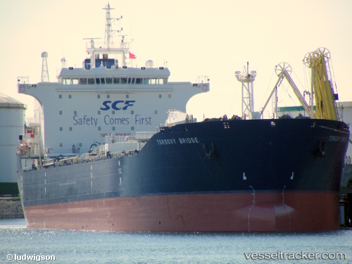
Find the position of the vessel HASAN EAST on the map. The latter are known coordinates and path.
marine traffic ship tracker show on live map
The current position of vessel HASAN EAST is 24.00968 lat / 60.85260 lng. Updated: 2025-10-11 00:45:50 UTCCurrently sailing under the flag of Barbados
HASAN EAST built in 2005 year
Deadweight:
46697 tDetails:
Last coordinates of the vessel:
UTC, 23.87433, 61.52912, course: 282, speed: 12.3UTC, 23.92436, 61.27916, course: 282, speed: 12.2
UTC, 23.97417, 61.03021, course: 282, speed: 12.3
2025-10-11 00:45:50 UTC, 24.00968, 60.85260, course: 282, speed: 12.3
The ship also appears on the maps: