 vesseltracker.com
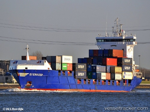
Find the position of the vessel Energizer on the map. The latter are known coordinates and path.
marine traffic ship tracker show on live map
The current position of vessel Energizer is 59.15223 lat / 10.64271 lng. Updated: 2025-11-01 05:32:52 UTCCurrently sailing under the flag of Netherlands
Energizer built in 2004 year
Deadweight:
9500 tDetails:
Last coordinates of the vessel:
UTC, 58.98994, 9.81172, course: 258, speed: 12.8UTC, 58.95091, 10.19802, course: 81, speed: 13.3
UTC, 59.06789, 10.49121, course: 34, speed: 15.1
2025-11-01 05:32:52 UTC, 59.15223, 10.64271, course: 44, speed: 15.7