 vesseltracker.com
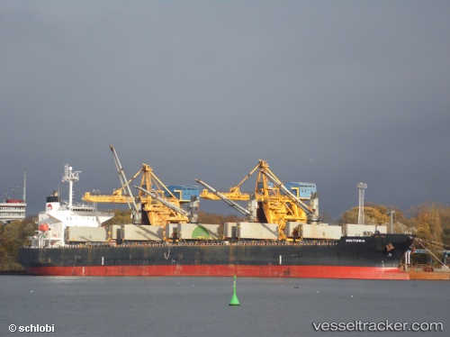
Vessel Aquitania IMO: 9300491, MMSI: 235050012 Ore Carrier
UTC, 4.09038, 123.28675, course: 40, speed: 10.7
UTC, 4.28495, 123.47943, course: 46, speed: 10
2026-01-18 03:01:29 UTC, 4.46388, 123.68002, course: 48, speed: 10.8
Live AIS position:
UTC. 127 nm S of Kalamansig),
updated 2026-01-18 03:01:29 UTC.
Find the position of the vessel Aquitania on the map. The latter are known coordinates and path.
marine traffic ship tracker show on live map
The current position of vessel Aquitania is 4.46388 lat / 123.68002 lng. Updated: 2026-01-18 03:01:29 UTCDetails:
Last coordinates of the vessel:
UTC, 3.94707, 123.14962, course: 35, speed: 10.4UTC, 4.09038, 123.28675, course: 40, speed: 10.7
UTC, 4.28495, 123.47943, course: 46, speed: 10
2026-01-18 03:01:29 UTC, 4.46388, 123.68002, course: 48, speed: 10.8