 vesseltracker.com
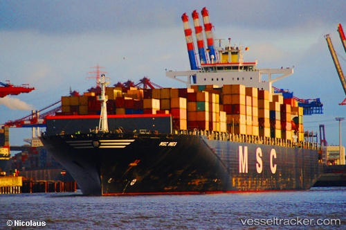
Vessel Msc Ines IMO: 9305714, MMSI: 356112000 Container Ship
UTC, -30.10453, 16.09208, course: 155, speed: 16.9
UTC, -30.50326, 16.29434, course: 156, speed: 16.8
2026-01-15 16:18:59 UTC, -31.09860, 16.59803, course: 156, speed: 17.3
Live AIS position:
UTC. 65 nm SW of Koiingnaas),
updated 2026-01-15 16:18:59 UTC.
Find the position of the vessel Msc Ines on the map. The latter are known coordinates and path.
marine traffic ship tracker show on live map
The current position of vessel Msc Ines is -31.09860 lat / 16.59803 lng. Updated: 2026-01-15 16:18:59 UTCCurrently sailing under the flag of Panama
Msc Ines built in 2006 year
Deadweight:
114732 tDetails:
Last coordinates of the vessel:
UTC, -29.64098, 15.84951, course: 153, speed: 17.9UTC, -30.10453, 16.09208, course: 155, speed: 16.9
UTC, -30.50326, 16.29434, course: 156, speed: 16.8
2026-01-15 16:18:59 UTC, -31.09860, 16.59803, course: 156, speed: 17.3