 vesseltracker.com
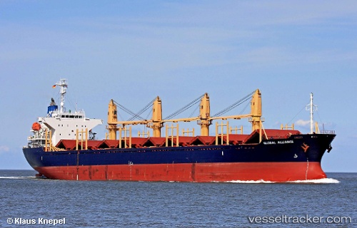
Vessel Amaliya IMO: 9312341, MMSI: 248153000 Bulk Carrier
UTC, 34.66557, 10.83517, course: 117, speed: 0
UTC, 34.66628, 10.83510, course: 135, speed: 0.1
2026-01-16 05:44:47 UTC, 34.66403, 10.83570, course: 25, speed: 0
Live AIS position:
UTC. Near Sfax),
updated 2026-01-16 05:44:47 UTC.
Find the position of the vessel Amaliya on the map. The latter are known coordinates and path.
marine traffic ship tracker show on live map
The current position of vessel Amaliya is 34.66403 lat / 10.83570 lng. Updated: 2026-01-16 05:44:47 UTCCurrently sailing under the flag of Malta
Amaliya built in 2004 year
Deadweight:
28436 tDetails:
Last coordinates of the vessel:
UTC, 34.66528, 10.83472, course: 102, speed: 0UTC, 34.66557, 10.83517, course: 117, speed: 0
UTC, 34.66628, 10.83510, course: 135, speed: 0.1
2026-01-16 05:44:47 UTC, 34.66403, 10.83570, course: 25, speed: 0