 vesseltracker.com
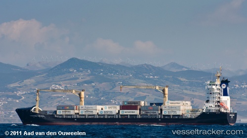
Find the position of the vessel Kantata on the map. The latter are known coordinates and path.
marine traffic ship tracker show on live map
The current position of vessel Kantata is 35.74908 lat / -0.59934 lng. Updated: 2025-10-31 10:12:28 UTCCurrently sailing under the flag of Lithuania
Kantata built in 2006 year
Deadweight:
13733 tDetails:
Last coordinates of the vessel:
UTC, 35.75044, -0.59987, course: 216, speed: 0.1UTC, 35.74961, -0.59928, course: 267, speed: 0.2
UTC, 35.74961, -0.59928, course: 267, speed: 0.2
2025-10-31 10:12:28 UTC, 35.74908, -0.59934, course: 293, speed: 0.1