 vesseltracker.com
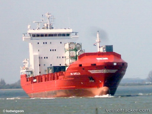
Vessel ALOPO IMO: 9329564, MMSI: 636019446 Container Ship
UTC, 36.78441, 3.13748, course: 210, speed: 0
UTC, 36.78449, 3.13755, course: 211, speed: 0
2026-01-18 11:57:18 UTC, 36.78167, 3.13667, course: -1, speed: 0
Live AIS position:
UTC. Near Mohammadia),
updated 2026-01-18 11:57:18 UTC.
Find the position of the vessel ALOPO on the map. The latter are known coordinates and path.
marine traffic ship tracker show on live map
The current position of vessel ALOPO is 36.78167 lat / 3.13667 lng. Updated: 2026-01-18 11:57:18 UTCCurrently sailing under the flag of Liberia
ALOPO built in 2004 year
Deadweight:
8262 tDetails:
Last coordinates of the vessel:
UTC, 36.78382, 3.13745, course: 225, speed: 0UTC, 36.78441, 3.13748, course: 210, speed: 0
UTC, 36.78449, 3.13755, course: 211, speed: 0
2026-01-18 11:57:18 UTC, 36.78167, 3.13667, course: -1, speed: 0