 vesseltracker.com
Live AIS position:
32.07908° N, 81.07466° W UTC. Near Savannah),
updated 2025-11-20 04:22:35 UTC.
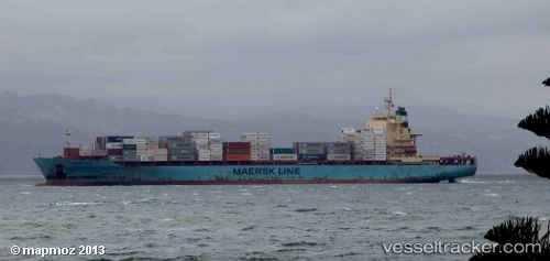
Find the position of the vessel Sine A on the map. The latter are known coordinates and path.
marine traffic ship tracker show on live map
The current position of vessel Sine A is 32.07908 lat / -81.07466 lng. Updated: 2025-11-20 04:22:35 UTCCurrently sailing under the flag of Malta
Sine A built in 2008 year
Deadweight:
39426 tDetails:
Last coordinates of the vessel:
UTC, 32.12908, -81.13873, course: 139, speed: 0UTC, 32.12910, -81.13872, course: 139, speed: 0
UTC, 32.12104, -81.13241, course: 146, speed: 5.6
2025-11-20 04:22:35 UTC, 32.07908, -81.07466, course: 84, speed: 7.4