 vesseltracker.com
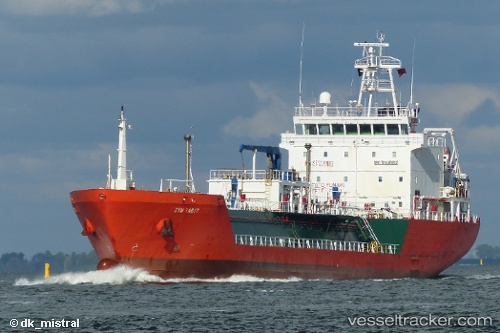
Find the position of the vessel Syn Tabit on the map. The latter are known coordinates and path.
marine traffic ship tracker show on live map
The current position of vessel Syn Tabit is 40.64838 lat / 18.09441 lng. Updated: 2025-10-22 08:18:54 UTCCurrently sailing under the flag of Italy
Syn Tabit built in 2007 year
Deadweight:
4026 tDetails:
Last coordinates of the vessel:
UTC, 40.64827, 18.09396, course: 154, speed: 0.3UTC, 40.64817, 18.09360, course: 143, speed: 0.2
UTC, 40.64802, 18.09352, course: 139, speed: 0
2025-10-22 08:18:54 UTC, 40.64838, 18.09441, course: 188, speed: 0.5