 vesseltracker.com
Live AIS position:
39.43728° N, 0.32946° W UTC. Near Valencia),
updated 2025-11-20 04:15:53 UTC.
Find the position of the vessel Alexandra A on the map. The latter are known coordinates and path.
marine traffic ship tracker show on live map
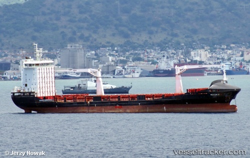
The current position of vessel Alexandra A is 39.43728 lat / -0.32946 lng. Updated: 2025-11-20 04:15:53 UTCCurrently sailing under the flag of Malta
Alexandra A built in 2011 year
Deadweight:
12099 tDetails:
Last coordinates of the vessel:
UTC, 39.43728, -0.32945, course: 204, speed: 0UTC, 39.43729, -0.32948, course: 204, speed: 0
UTC, 39.43730, -0.32944, course: 204, speed: 0
2025-11-20 04:15:53 UTC, 39.43728, -0.32946, course: 204, speed: 0