 vesseltracker.com
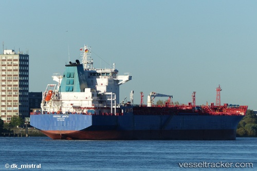
Vessel Histria Agata IMO: 9357559, MMSI: 256359000 Chemical Oil Products Tanker
UTC, 45.65602, -1.17865, course: 282, speed: 13.3
UTC, 45.63757, -1.28940, course: 242, speed: 14
2026-01-17 17:03:57 UTC, 45.63757, -1.28940, course: 242, speed: 14
Live AIS position:
UTC. Near La Palmyre),
updated 2026-01-17 17:03:57 UTC.
Find the position of the vessel Histria Agata on the map. The latter are known coordinates and path.
marine traffic ship tracker show on live map
The current position of vessel Histria Agata is 45.63757 lat / -1.28940 lng. Updated: 2026-01-17 17:03:57 UTCCurrently sailing under the flag of Malta
Histria Agata built in 2007 year
Deadweight:
40440 tDetails:
Last coordinates of the vessel:
UTC, 45.47328, -0.92583, course: 320, speed: 12.8UTC, 45.65602, -1.17865, course: 282, speed: 13.3
UTC, 45.63757, -1.28940, course: 242, speed: 14
2026-01-17 17:03:57 UTC, 45.63757, -1.28940, course: 242, speed: 14