 vesseltracker.com
Find the position of the vessel Hirta on the map. The latter are known coordinates and path.
marine traffic ship tracker show on live map
The current position of vessel Hirta is 57.14617 lat / -2.08850 lng. Updated: 2025-11-03 10:08:47 UTCCurrently sailing under the flag of United Kingdom
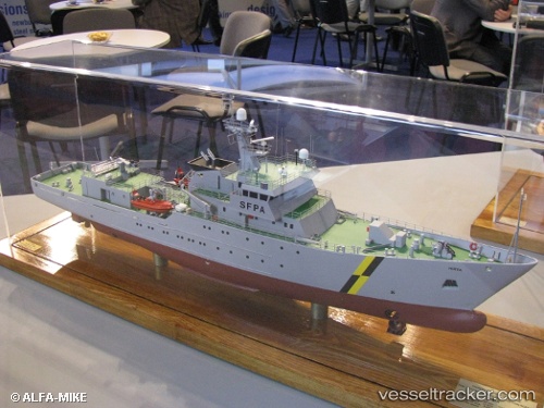
Hirta built in 2007 year
Deadweight:
741 tDetails:
Last coordinates of the vessel:
UTC, 57.09607, -2.01218, course: 8, speed: 6UTC, 57.14600, -2.05517, course: 252, speed: 5.4
UTC, 57.14617, -2.08850, course: 263, speed: 0.1
2025-11-03 10:08:47 UTC, 57.14617, -2.08850, course: 263, speed: 0.1