 vesseltracker.com
Live AIS position:
41.37026° N, 19.41711° E UTC. Near Romano Port),
updated 2025-11-17 00:21:53 UTC.
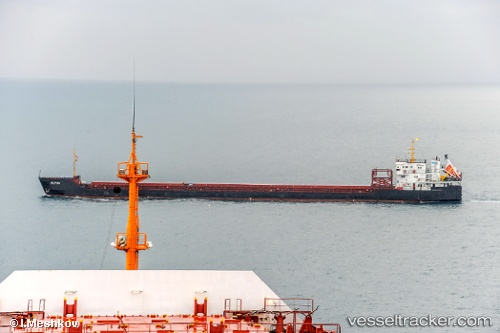
Find the position of the vessel ALPHA on the map. The latter are known coordinates and path.
marine traffic ship tracker show on live map
The current position of vessel ALPHA is 41.37026 lat / 19.41711 lng. Updated: 2025-11-17 00:21:53 UTCCurrently sailing under the flag of Cook islands
ALPHA built in 2008 year
Deadweight:
4706 tDetails:
Last coordinates of the vessel:
UTC, 41.37026, 19.41711, course: 246, speed: 0UTC, 41.37026, 19.41711, course: 246, speed: 0
UTC, 41.37026, 19.41711, course: 246, speed: 0
2025-11-17 00:21:53 UTC, 41.37026, 19.41711, course: 246, speed: 0