 vesseltracker.com
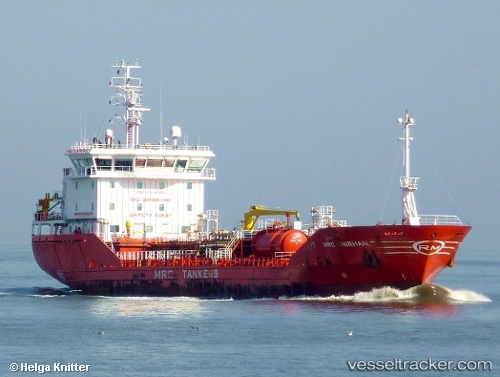
Find the position of the vessel Mrc Emirhan on the map. The latter are known coordinates and path.
marine traffic ship tracker show on live map
The current position of vessel Mrc Emirhan is 43.58252 lat / 10.31822 lng. Updated: 2025-11-05 22:24:10 UTCCurrently sailing under the flag of Malta
Mrc Emirhan built in 2008 year
Deadweight:
6128 tDetails:
Last coordinates of the vessel:
UTC, 43.58252, 10.31817, course: 196, speed: 0UTC, 43.58252, 10.31817, course: 196, speed: 0
UTC, 43.58255, 10.31818, course: 196, speed: 0
2025-11-05 22:24:10 UTC, 43.58252, 10.31822, course: 196, speed: 0