 vesseltracker.com
Find the position of the vessel KALLIOPI S on the map. The latter are known coordinates and path.
marine traffic ship tracker show on live map
The current position of vessel KALLIOPI S is 14.67333 lat / -17.42667 lng. Updated: 2025-11-08 15:33:05 UTCCurrently sailing under the flag of Liberia
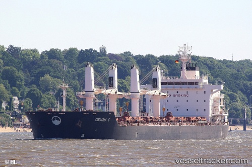
KALLIOPI S built in 2012 year
Deadweight:
34417 tDetails:
Last coordinates of the vessel:
UTC, 14.67463, -17.42709, course: 199, speed: 0UTC, 14.67473, -17.42709, course: 199, speed: 0
UTC, 14.67333, -17.42667, course: -1, speed: 0
2025-11-08 15:33:05 UTC, 14.67333, -17.42667, course: -1, speed: 0
The ship also appears on the maps: