 vesseltracker.com
Find the position of the vessel CLIPPER CLYDE on the map. The latter are known coordinates and path.
marine traffic ship tracker show on live map
The current position of vessel CLIPPER CLYDE is 20.88074 lat / 87.041976666667 lng. Updated: 2025-11-03 21:51:02 UTCCurrently sailing under the flag of Marshall Islands
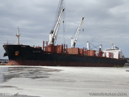
CLIPPER CLYDE built in 2012 year
Deadweight:
31639 tDetails:
Last coordinates of the vessel:
UTC, 20.82096, 87.248011666667, course: 328, speed: 9.1UTC, 20.928333333333, 87.171666666667, course: -1, speed: 1
UTC, 20.934598333333, 87.163418333333, course: 301, speed: 4.4
2025-11-03 21:51:02 UTC, 20.88074, 87.041976666667, course: 232, speed: 10.3