 vesseltracker.com
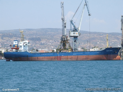
Vessel TOLMI IMO: 9467782, MMSI: 636021738 General Cargo Ship
UTC, 37.98653, 24.45216, course: 161, speed: 0.2
UTC, 37.98629, 24.45319, course: 215, speed: 0.1
2026-01-17 17:28:23 UTC, 37.98635, 24.45326, course: 217, speed: 0
Live AIS position:
UTC. Near Karystos),
updated 2026-01-17 17:28:23 UTC.
Find the position of the vessel TOLMI on the map. The latter are known coordinates and path.
marine traffic ship tracker show on live map
The current position of vessel TOLMI is 37.98635 lat / 24.45326 lng. Updated: 2026-01-17 17:28:23 UTCCurrently sailing under the flag of Liberia
TOLMI built in 2007 year
Deadweight:
3331 tDetails:
Last coordinates of the vessel:
UTC, 37.98624, 24.45267, course: 190, speed: 0.1UTC, 37.98653, 24.45216, course: 161, speed: 0.2
UTC, 37.98629, 24.45319, course: 215, speed: 0.1
2026-01-17 17:28:23 UTC, 37.98635, 24.45326, course: 217, speed: 0