 vesseltracker.com
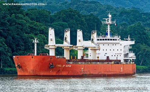
Find the position of the vessel Tassos N on the map. The latter are known coordinates and path.
marine traffic ship tracker show on live map
The current position of vessel Tassos N is -12.393483333333 lat / -13.834616666667 lng. Updated: 2025-11-07 01:36:05 UTCCurrently sailing under the flag of Marshall Is
Tassos N built in 2009 year
Deadweight:
56300 tDetails:
Last coordinates of the vessel:
UTC, -12.015733333333, -13.4076, course: 229, speed: 12.7UTC, -12.1256, -13.530666666667, course: 228, speed: 12.8
UTC, -12.2617, -13.682433333333, course: 228, speed: 12.3
2025-11-07 01:36:05 UTC, -12.393483333333, -13.834616666667, course: 231, speed: 12.4