 vesseltracker.com
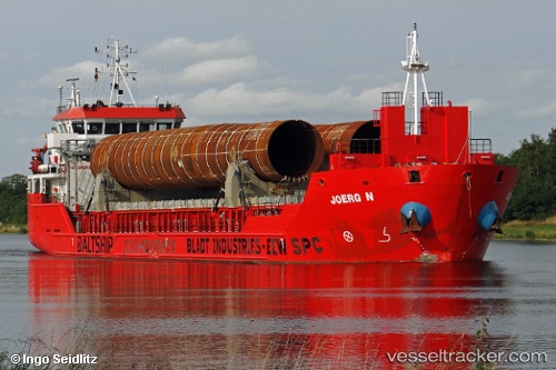
Vessel Erge IMO: 9508603, MMSI: 351429000 General Cargo Ship
UTC, 41.45583, 17.35742, course: 312, speed: 9.3
UTC, 41.62174, 17.13291, course: 312, speed: 9.7
2026-01-17 14:23:46 UTC, 41.62174, 17.13291, course: 312, speed: 9.7
Live AIS position:
UTC. 31 nm N of Monopoli),
updated 2026-01-17 14:23:46 UTC.
Find the position of the vessel Erge on the map. The latter are known coordinates and path.
marine traffic ship tracker show on live map
The current position of vessel Erge is 41.62174 lat / 17.13291 lng. Updated: 2026-01-17 14:23:46 UTCCurrently sailing under the flag of Panama
Erge built in 2010 year
Deadweight:
4749 tDetails:
Last coordinates of the vessel:
UTC, 41.30828, 17.56865, course: 313, speed: 9.5UTC, 41.45583, 17.35742, course: 312, speed: 9.3
UTC, 41.62174, 17.13291, course: 312, speed: 9.7
2026-01-17 14:23:46 UTC, 41.62174, 17.13291, course: 312, speed: 9.7