 vesseltracker.com
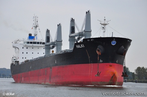
Vessel Halki IMO: 9543419, MMSI: 538004361 Bulk Carrier
UTC, 43.43213, -9.51392, course: 61, speed: 11
UTC, 43.60645, -9.04873, course: 65, speed: 11.6
2026-01-18 20:28:36 UTC, 43.61636, -9.01902, course: 65, speed: 11.4
Live AIS position:
UTC. 15 nm NE of Villanueva de Lorenzana),
updated 2026-01-18 20:28:36 UTC.
Find the position of the vessel Halki on the map. The latter are known coordinates and path.
marine traffic ship tracker show on live map
The current position of vessel Halki is 43.61636 lat / -9.01902 lng. Updated: 2026-01-18 20:28:36 UTCDetails:
Last coordinates of the vessel:
UTC, 43.41725, -9.54987, course: 61, speed: 11UTC, 43.43213, -9.51392, course: 61, speed: 11
UTC, 43.60645, -9.04873, course: 65, speed: 11.6
2026-01-18 20:28:36 UTC, 43.61636, -9.01902, course: 65, speed: 11.4