 vesseltracker.com
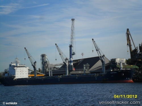
Find the position of the vessel BARBRO G on the map. The latter are known coordinates and path.
marine traffic ship tracker show on live map
The current position of vessel BARBRO G is 44.45667 lat / 12.24833 lng. Updated: 2025-11-10 01:42:24 UTCCurrently sailing under the flag of Portugal (MAR)
BARBRO G built in 2010 year
Deadweight:
29975 tDetails:
Last coordinates of the vessel:
UTC, 44.45667, 12.24833, course: -1, speed: 0UTC, 44.45710, 12.24956, course: 199, speed: 0
UTC, 44.45711, 12.24956, course: 199, speed: 0
2025-11-10 01:42:24 UTC, 44.45667, 12.24833, course: -1, speed: 0